
KEOL is
Earth Observation Laboratory in Kangwon National University that works in Remote sensing and GIS.


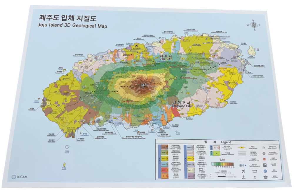
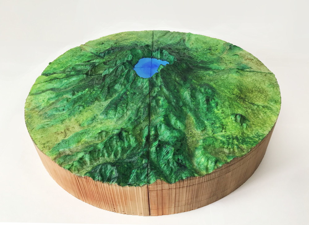
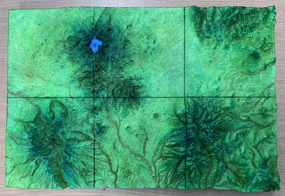
[ Jeju Island 3D Geological Map Ⅰ ]
(Flexible / 1 : 200,000 Scale / Relative Elevation 1 : 3)

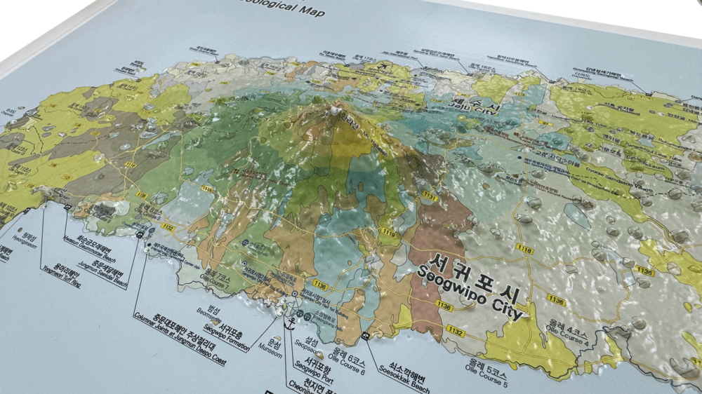
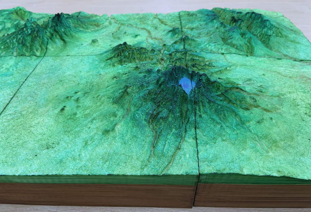
[ Jeju Island 3D Geological Map Ⅱ ]
(Flexible / 1 : 200,000 Scale / Relative Elevation 1 : 2)
Remote sensing and Geographic Information System (GIS) technique have become critical toolset for understanding natural hazard and disaster phenomena such as earthquakes, volcanic eruptions, wildfire, landslide, and floods. The potential of geological resources such as groundwater or habitat mapping also can be addressed by remote sensing and GIS.
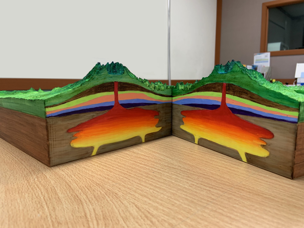
[ 3D Printing Image ]
Remote sensing and GIS' ability that effectively capture the surface deformation due to the natural hazards occurrence with high spatial and temporal resolution has a significant role in the revolutionized the volcanology, geology, earthquake science, marine science, and many more.
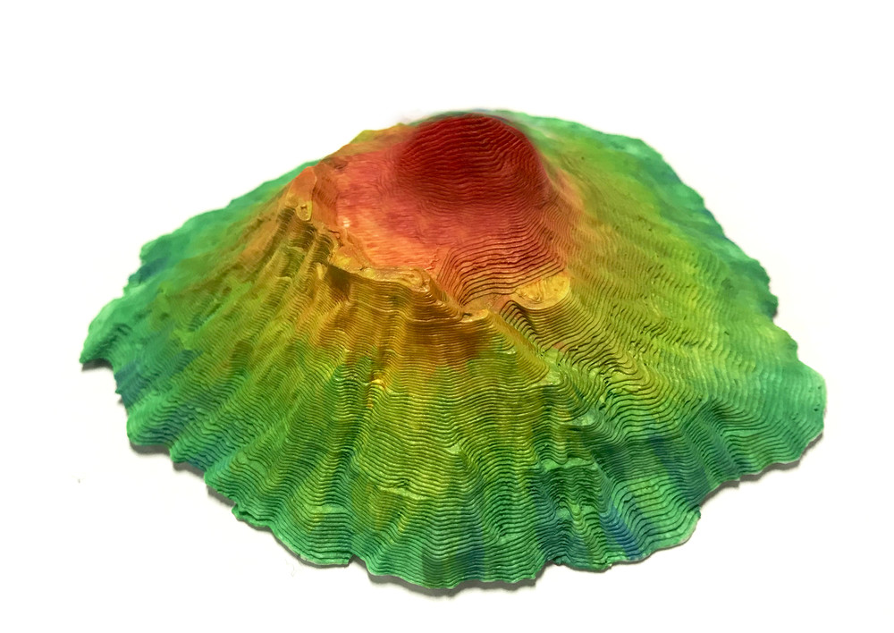
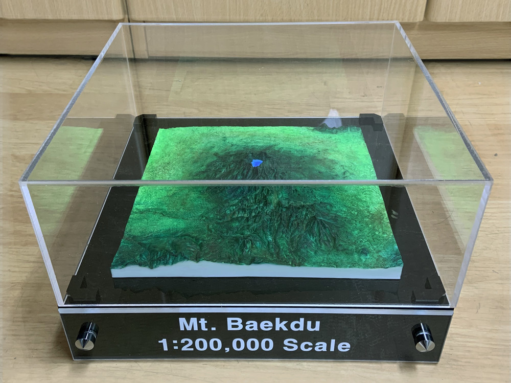
[ Baekdu Mountain 3D Printing Object ]
[ Baekdu Mountain 3D Printing Object ]
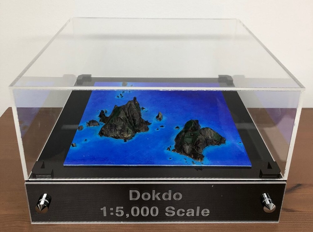
[ Dokdo 3D Printing Object ]
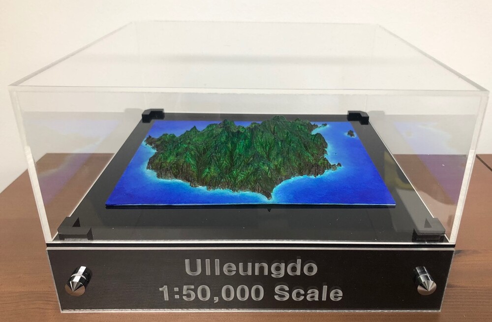
[ Ulleungdo 3D Printing Object ]
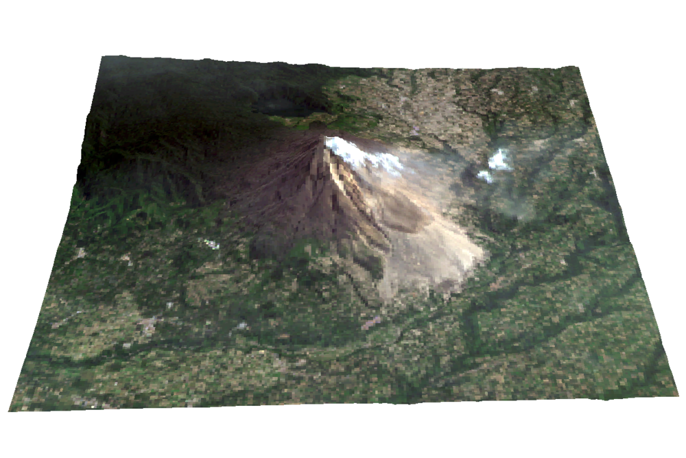
[ Sinabung Volcano Landsat Image ]
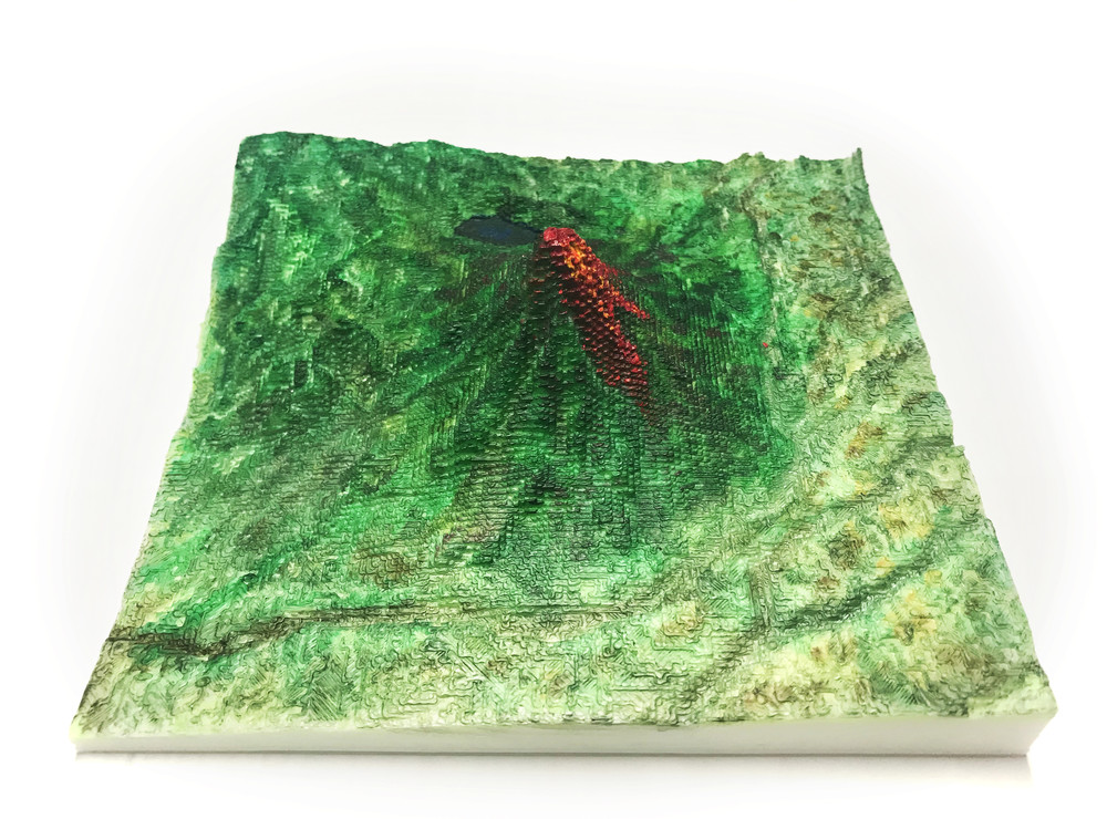
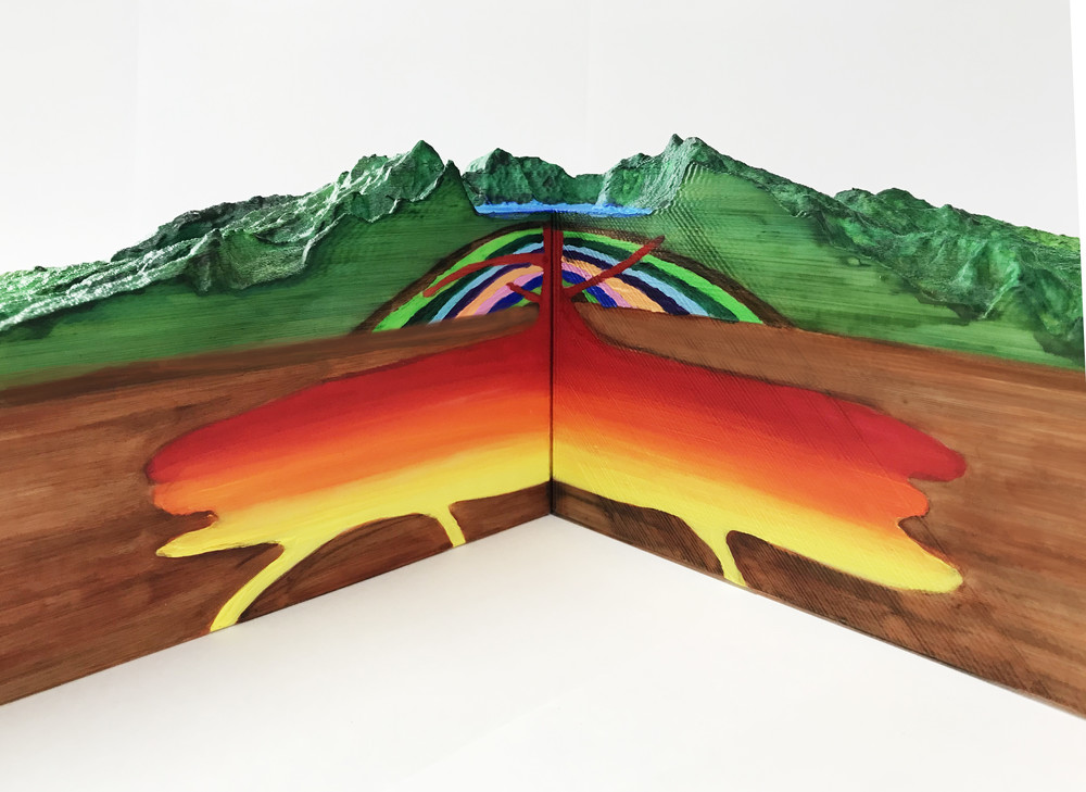
[ 3D Printing Object ]
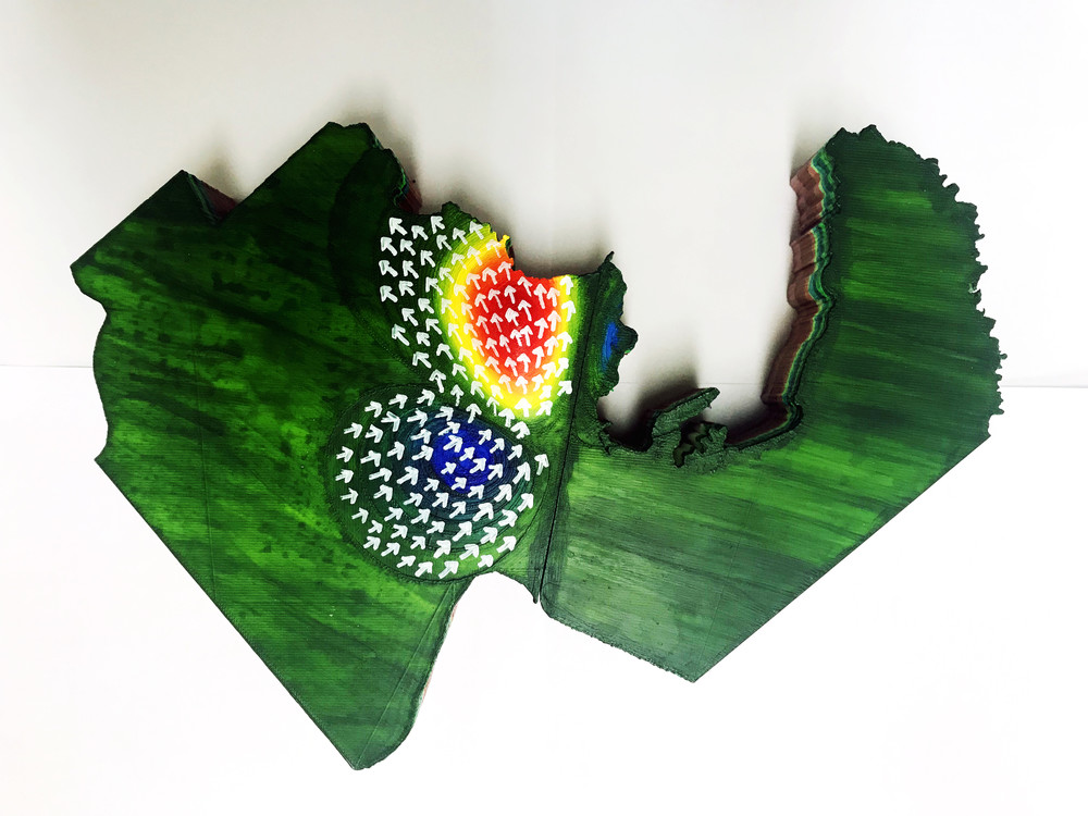
[ PoHang Earthquake Area ]
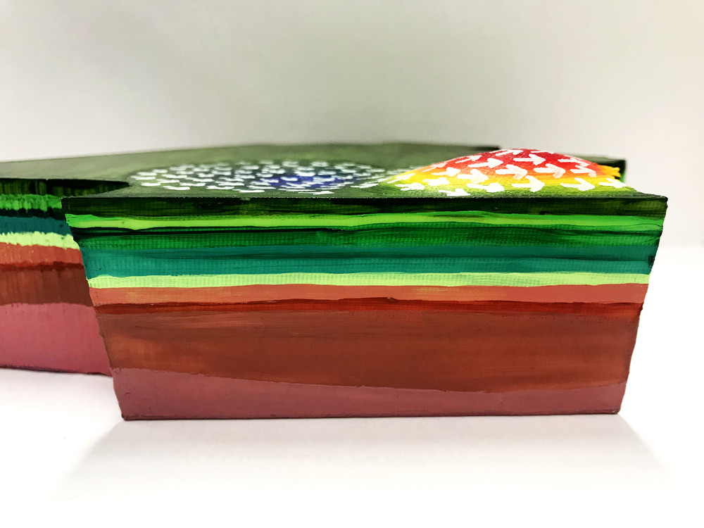
[ Fault Zone - Inflat (Blue), Deflat (Red) ]
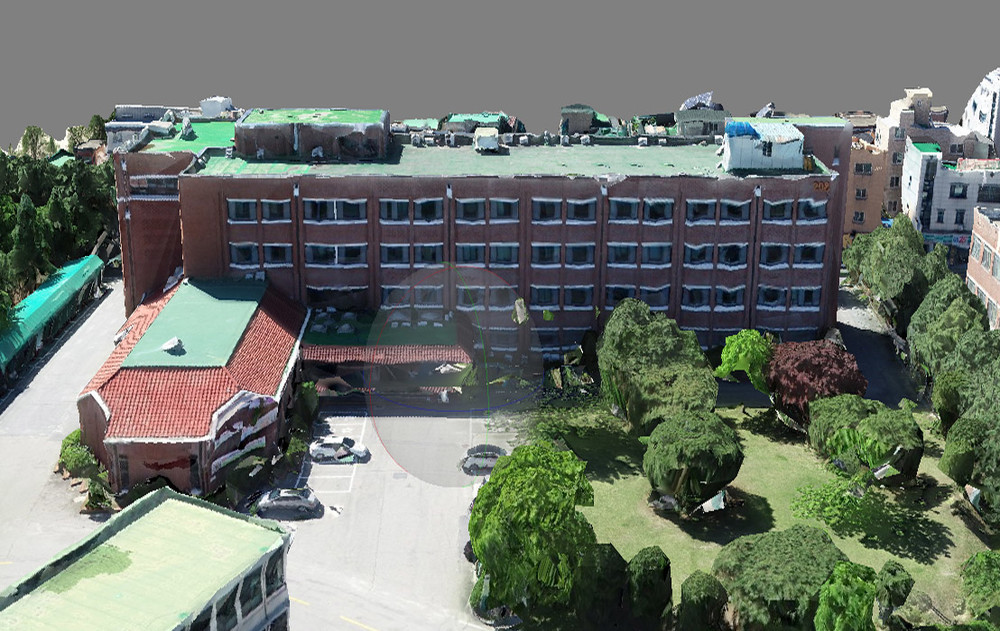
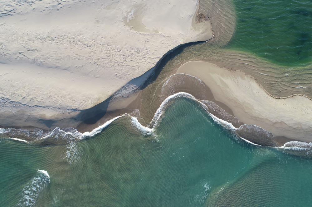
[ 3D Drone Image ]
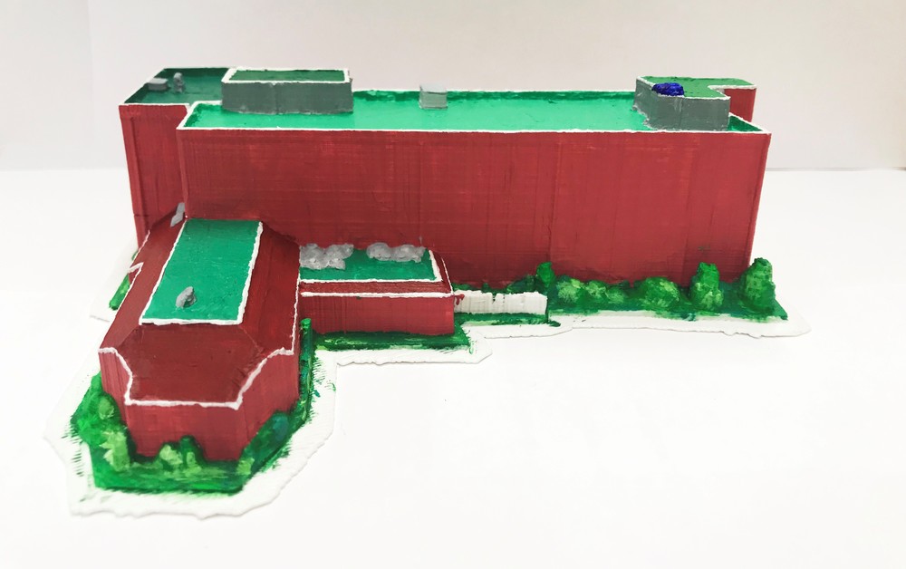
[ 3D Printing Object ]
Kangwon National University Earth Observation Laboratory
KNU Chuncheon Campus 1, Gangwondaehakgil, Chuncheon-si, 24341 Republic of Korea
Kangwon National University College of Education #4 - 301. TEL : +82.33.250.7923